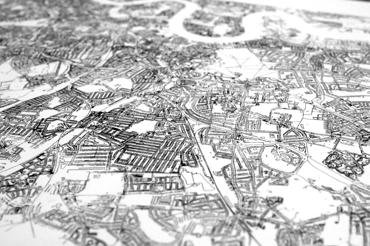
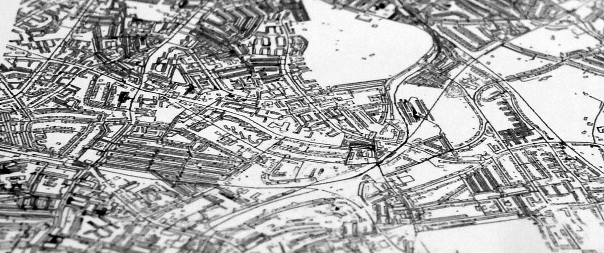
Axidraw plot of SE London
This plot took ages. 13hrs in total on the Axidraw!
My house is in the middle and all the buildings, roads and railways of SE London are plotted:
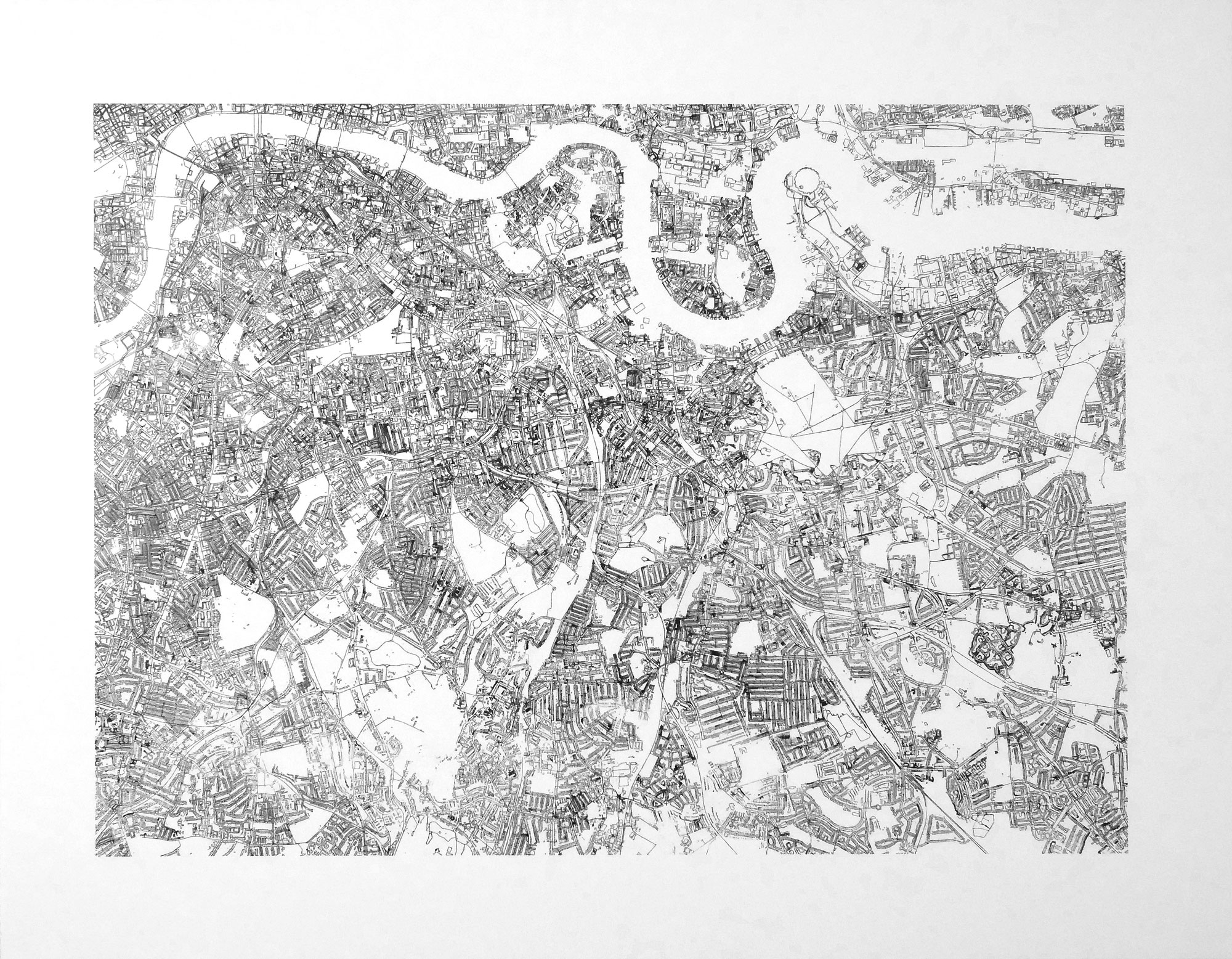
I got the data from the OS OpenMap Local dataset, which is completely free and covers the whole UK.
The code that I used to create the SVG map is up on Github.